Climbing Lobhorn 19/09/19
The Lobhorn 2,566m (Lobhörner in German) is an epic looking rock, protruding from the ground surrounded by the most beautiful terrain. It’s a perfect multi-pitch traverse for beginners - but beware, good route finding skills are necessary.
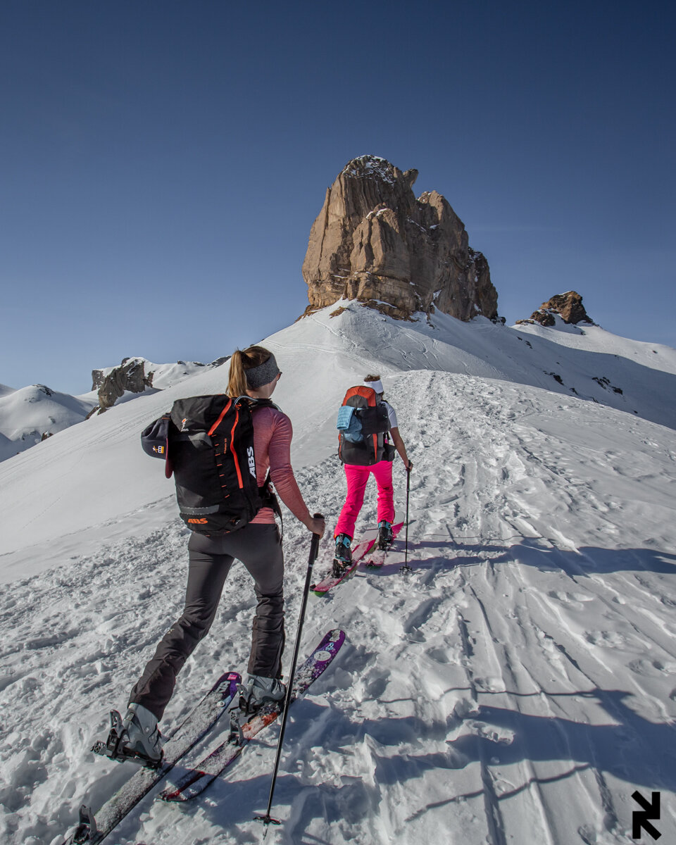
Like a lot of people, I’ve always been drawn to the Lobhorn. I mean, doesn’t it just look like a spectacular piece of rock? We’d been there twice before on ski-tours and decided in the Autumn it was something we’d love to climb.
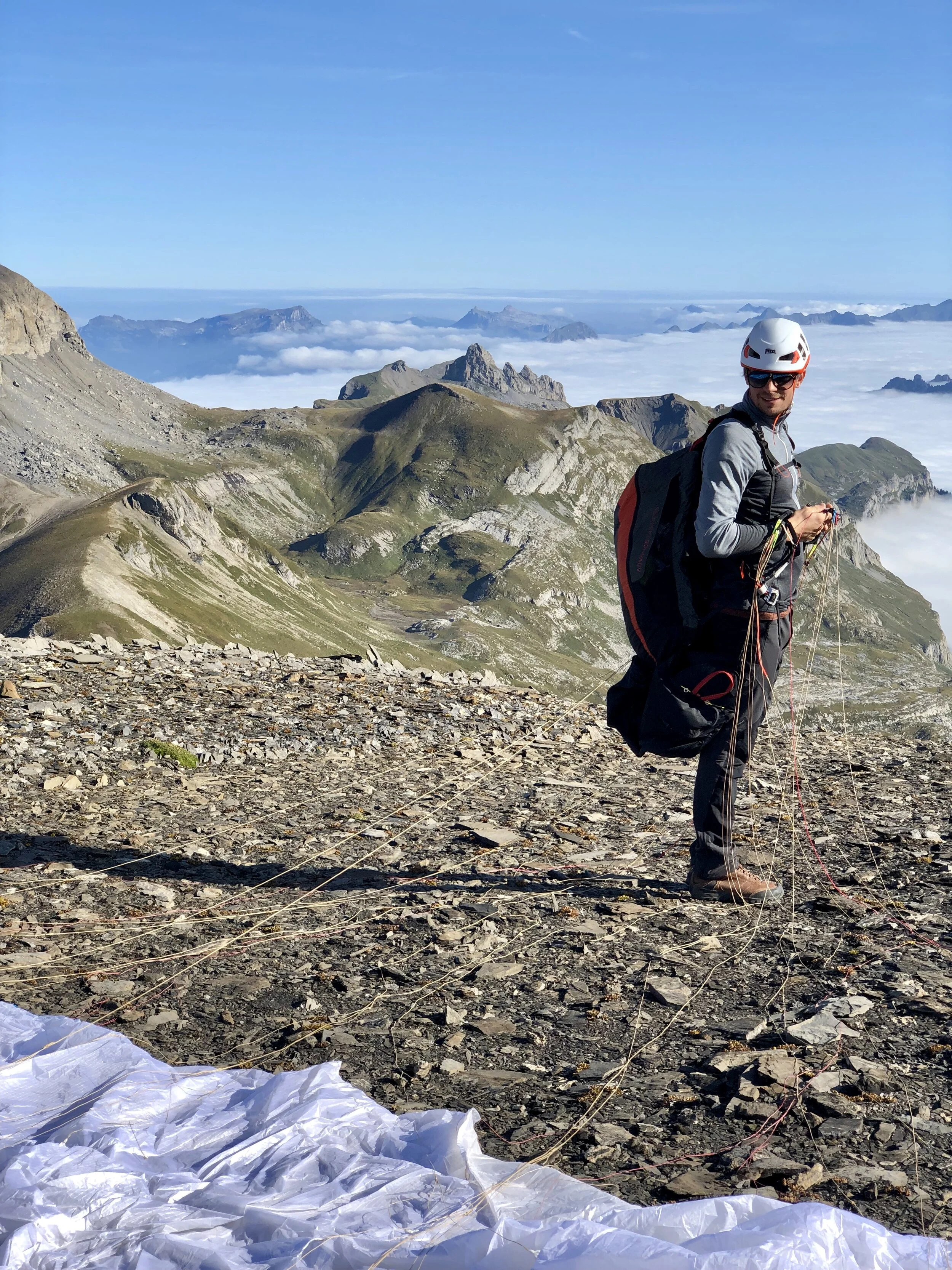
So, the plan was to paraglide from Schilthorn (the local mountain where we live), hike to Lobhorn, climb it, then take a relaxing 10-minute flight back home. A very straight forward plan, how hard could it be right?
The morning of the climb, we woke to a foggy Mürren 1,638m but when we got to the Schilthorn 2,970m (by cable car) we realised it was just an inversion and our flight, hike and climb would all be in the sunshine!
The Lobhorn as seen from the Schilthorn 2,970m, inversion clouds at around 2,000m
After a 30 minute hike across the ridge at Schilthorn, we found a suitable Westerly take-off, the winds were calm - what a great start to our journey. At this point, we were fully aware of the fact that there was an inversion that could potentially affect our flight home, but we thought surely later in the afternoon it would clear right?
After we landed, we had about an hour hike. The hike was mainly flat, super easy terrain and extremely beautiful. With the Lobhorn always in sight, we were excited for the adventure ahead!
With the Lobhorn now towering over us, we stashed our gliders, put on our climbing harnesses and headed to the first pitch!
The first few pitches went really well, we were making good time and enjoying every moment. It wasn’t until we tried to find the way from kleine Lobhorn to Grosses Lobhorn that we ran into difficulty.
All of the books and information we’d read about this climb basically said that the climbing isn’t hard, but you need great route finding skills to make it - and we now understood what this meant! It was difficult because the instructions weren’t so clear (like many multi-pitches). So we spent about 1.5 hours trying not to fall off the rock, searching for a way over to Grosses Lobhorn.
Circled is where it was difficult to find the route. Photo by Gerber Martin
By this point, we were sweaty and frustrated and I just wanted to rappel down and get out of there - but it wasn’t possible. It turns out that the route was in front of us the whole time, but from where we were standing it looked too dangerous to traverse across without any protection - but we did it and we were back on track!
Now, sunburnt and exhausted, with still lots of climbing and rappelling ahead of us, we realized the clouds were not shifting - so we felt a little anxious. This inversion was a concern, as our 15-minute easy flight back home could turn into a 4-hour hike - possibly in the dark if we don’t get a move on!
The next 3 or 4 pitches were long-winded, but with the top in sight - we kept going strong. The final climb to the top was just beautiful. You’re climbing along a ridge that you can look down on both sides. As René belayed me up the final few meters I looked around and felt happy! But also still concerned about those damn clouds…
On the summit, looking burnt and exhausted!
The last few rappels were straight forward and we were working on being quick and efficient because although we didn’t want to admit it just yet, we had a 4-hour hike through the mountains in the dark.
As my feet touched down on the ground, I couldn’t be happier to be off that rock. The time was now 19:00 (we’d been up there for about 7 hours) so we quickly packed up all of our climbing gear, ropes, harnesses, paragliders (around 13kg each) into our backpacks and started running home. During the first hour, we ran fast - as if our lives depended on it, because this hike down steep mountainous terrain in complete darkness would be the hardest and most dangerous. The next 3 hours of the hike we took it easier, but still jogged in pitch black with 1 phone light….
4 hours later at 23:00 after a painful 13km hike in the dark (1,100m down, 300m up) we reached our home in Mürren, and my legs wern’t really working anymore but you couldn’t wipe the smile from my face!
Hike from Lobhorn to Mürren (approximate). It’s a little bit off, at the start we didn’t take the ridge down but a much steeper trail down to Soustal.


